Leave Reykjavík on Route 1 east. After Hvolsvöllur the old sea cliffs begin. Farms sit under them. The waterfalls are the cliff edge, still working.
Seljalandsfoss and Skógafoss
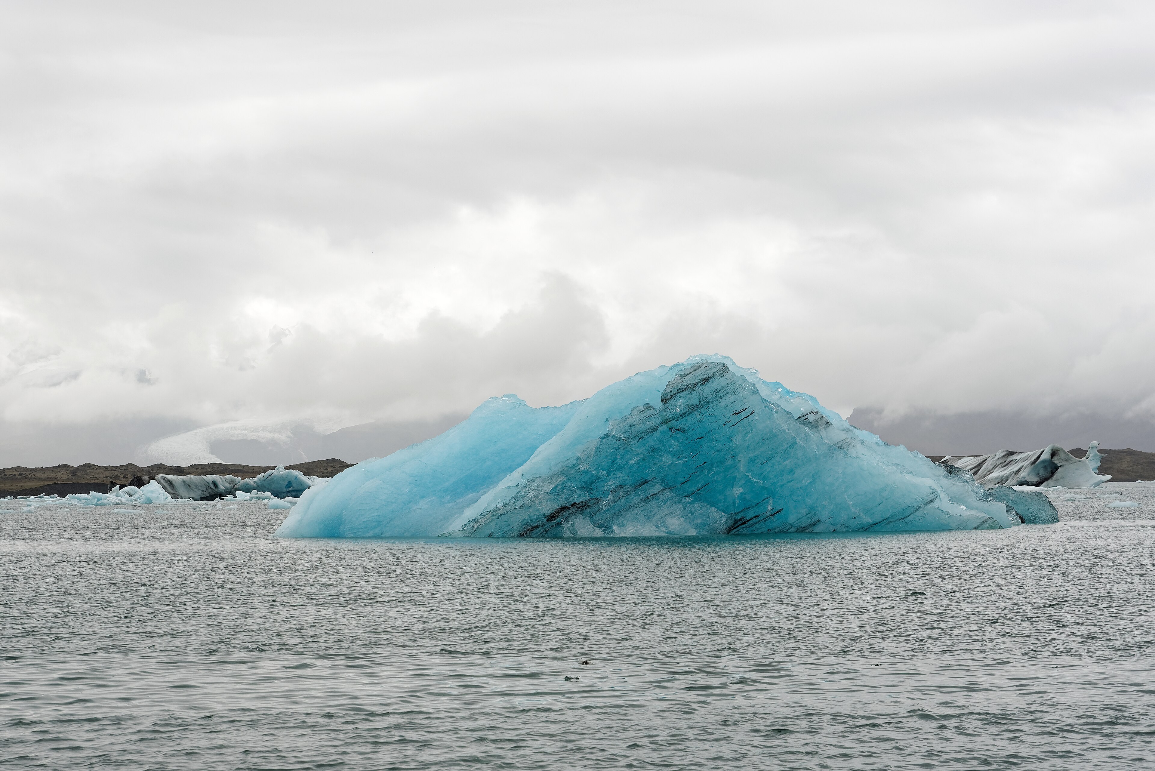
Seljalandsfoss falls off the cliff as a thin curtain. A path goes behind the water when it is not iced. You will get wet. That is the walk, not a trick.
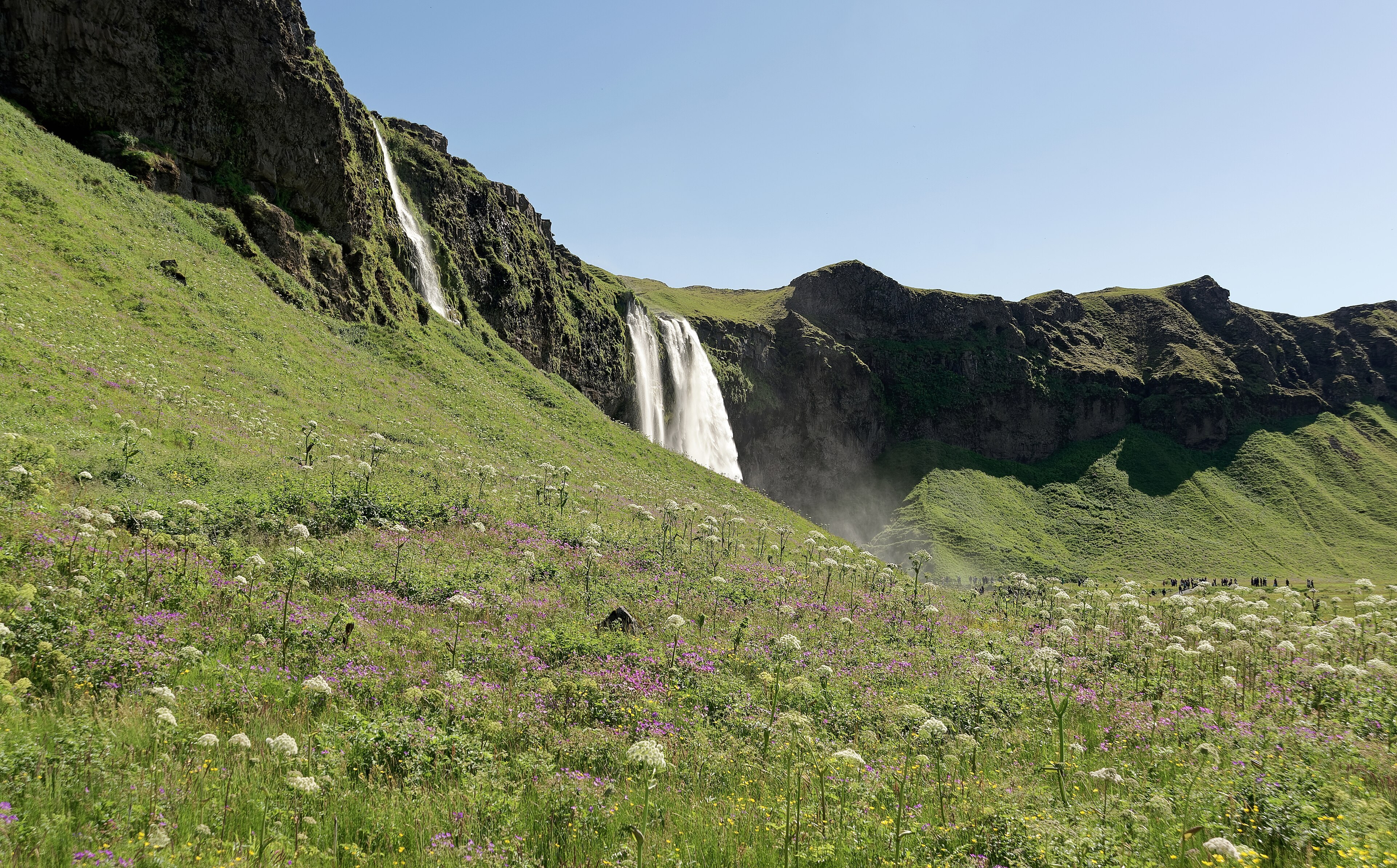
Skógafoss is wider, about 60 metres high. A staircase climbs the east side to the old cliff top. Spray soaks the lower viewpoint. In sun there is often a rainbow because there is always spray.
Reynisfjara
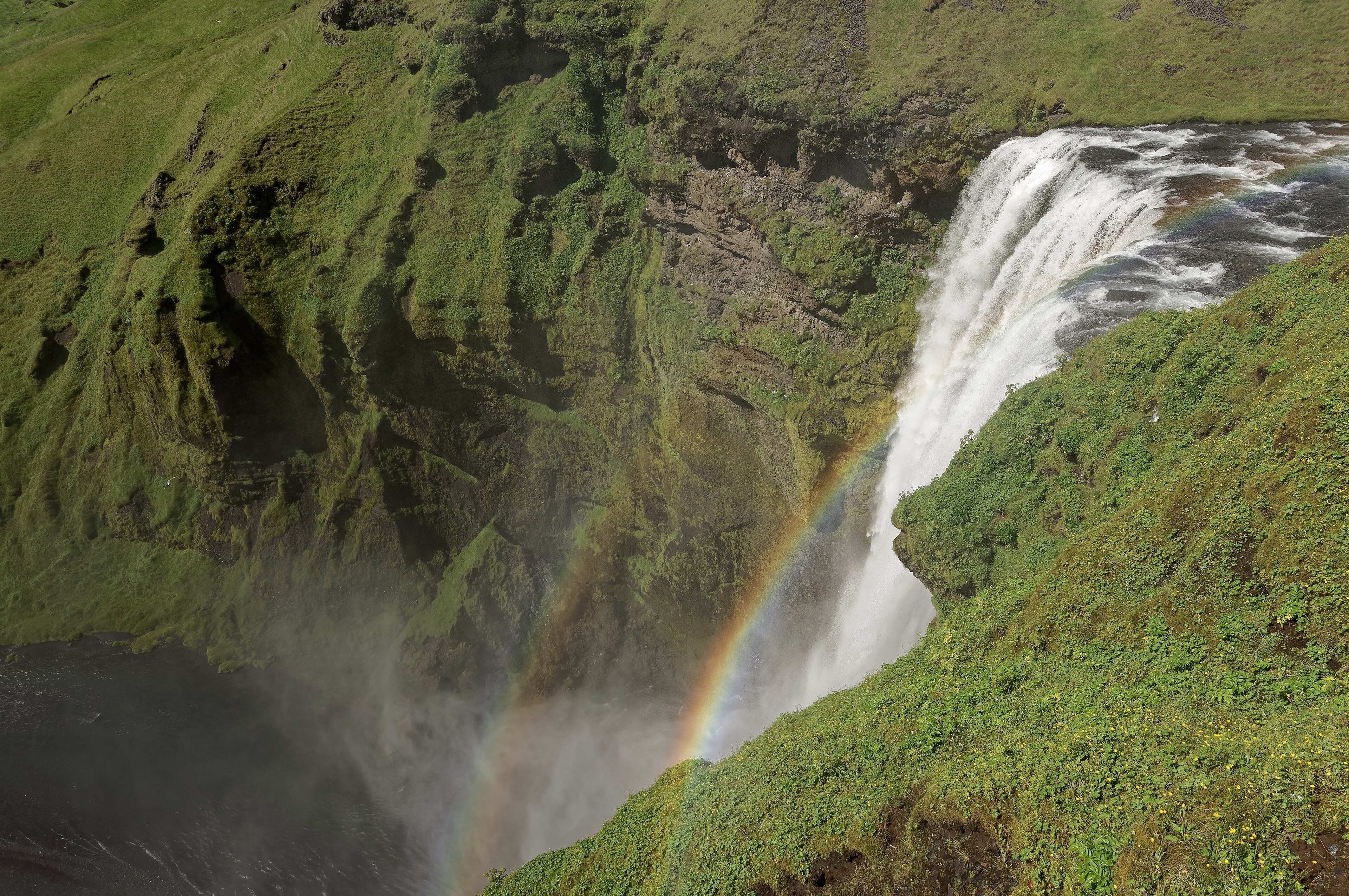
Black sand and basalt columns, with the Reynisdrangar stacks in the water. Sneaker waves run further up the beach than you expect. People have been taken. Do not turn your back on the sea. Do not climb the stacks. The warning signs are there because visitors keep ignoring them.
Vík
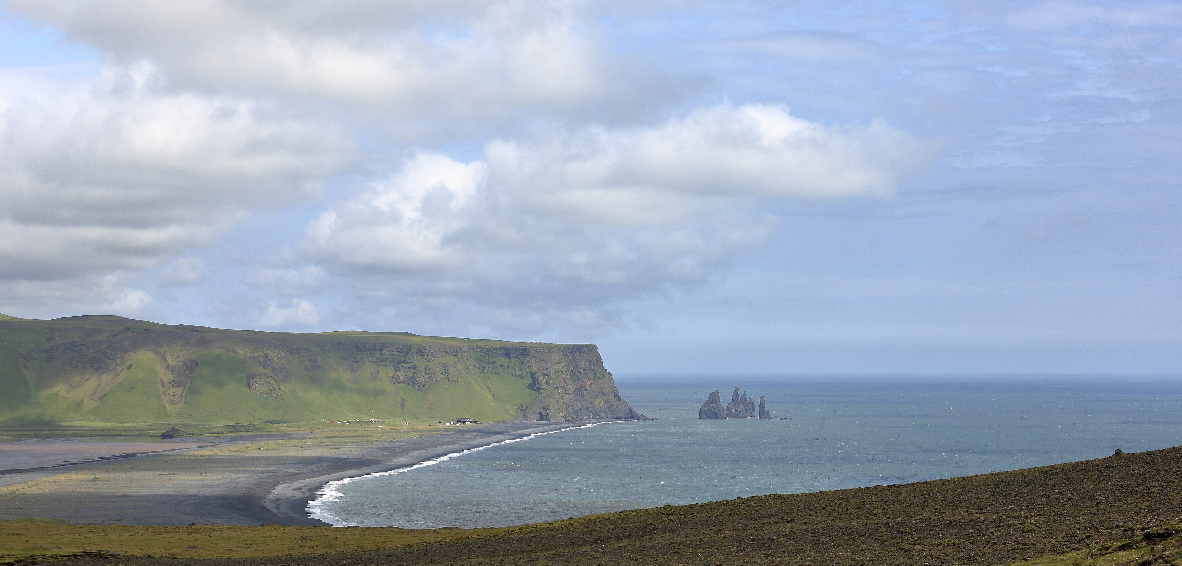
Vík í Mýrdal is the village just east of the beach. Fuel, food, a church on a rise. It is a stop, not a prize. The weather here comes straight off the Atlantic.
Jökulsárlón
Further east, past the sandur plains, icebergs calve from Breiðamerkurjökull into the lagoon and drift to the sea. The ocean beach collects ice on black sand. That stretch is a long day from Reykjavík if you do the falls as well. Sleep somewhere on the way if you can.